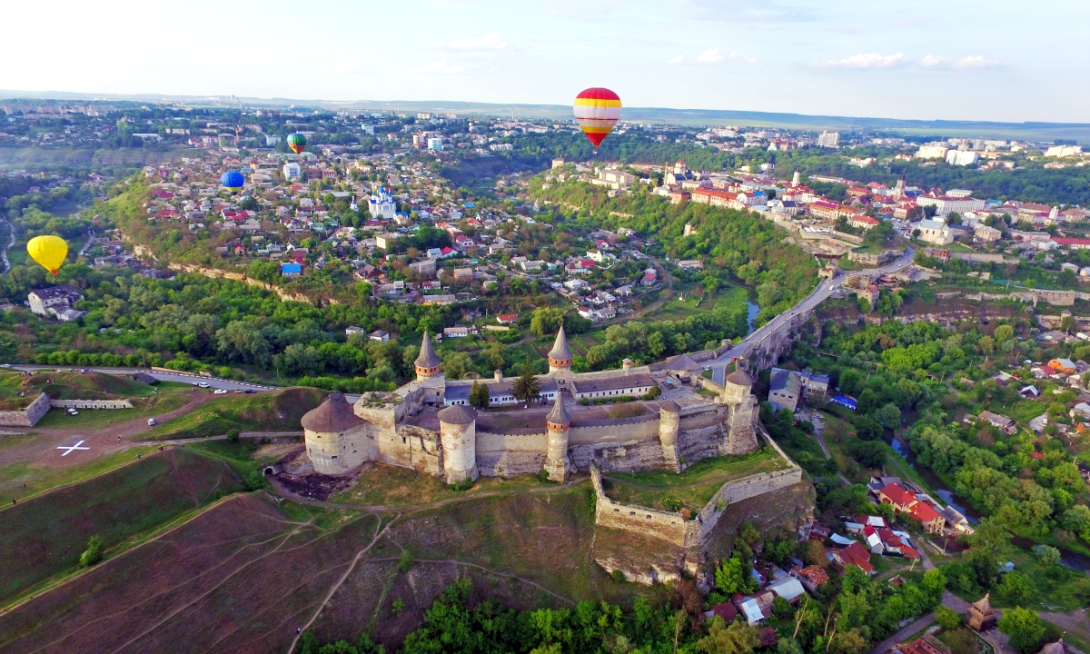
Khmelnytskyi region was formed on September 22, 1937. Its area is 20.6 thousand square meters. km, i.e. 3.3% of the territory of the republic. According to this indicator, it ranks 19th. It is located in the extreme east of the Podilsk forest-steppe upland, and with its northern part (Slavutskyi and partially Shepetivskyi and Polonskyi districts) enters Polissya, which is also an upland in this part. The average absolute height of the region is 275m above sea level, and its maximum heights significantly exceed 300m.
To the south of the Shepetivska Plain is the Horyn-Slutsk or North Podolsk undulating forest plateau with an average height of 300m above sea level. The height is distinctly separated from the Shepetiv plain by a 20...30-meter ledge. The escarpment stretches along the line between the villages of Kuniv–Pluzhne and the bridge Shepetivka–Polonne, and then passes into the Zhytomyr Region to the cities of Chudniv–Berdychiv.
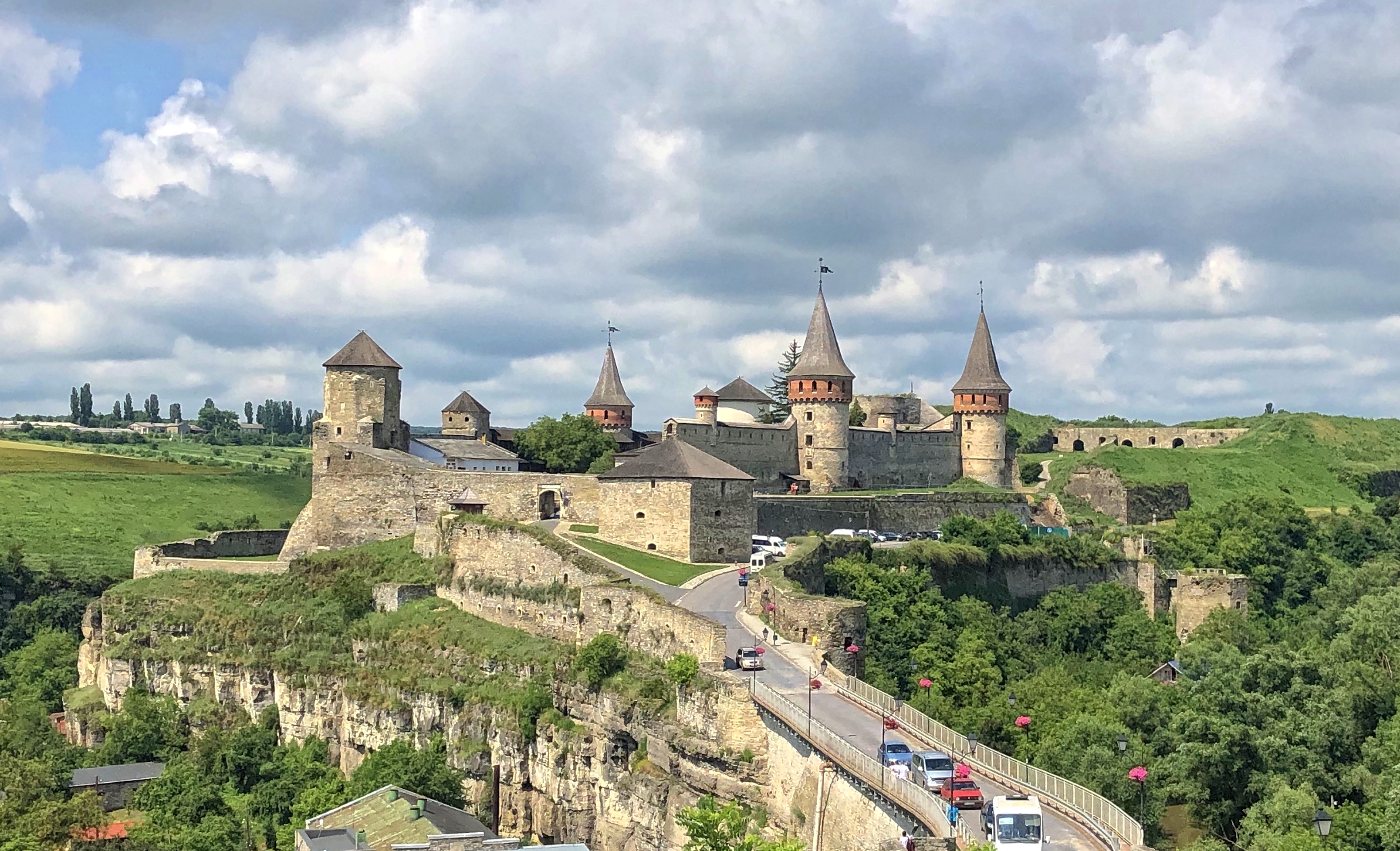
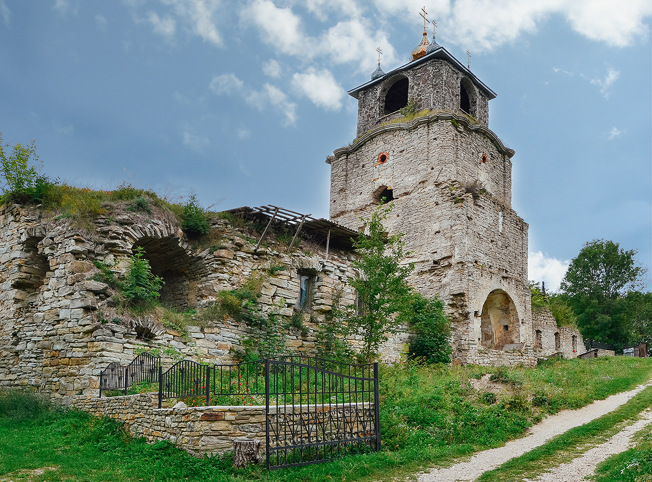
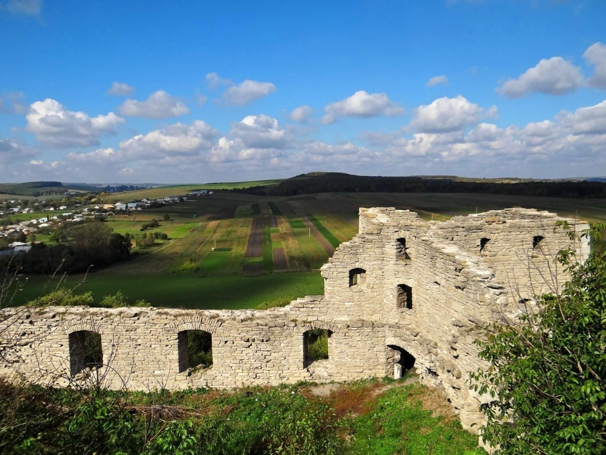
On the territory of the Khmelnytskyi region, mineral waters were discovered with the help of wells in a number of points. The most promising of them are the mineral waters distributed in the areas of the village of Sataniv and the towns of Kamianets-Podilskyi and Polonne.
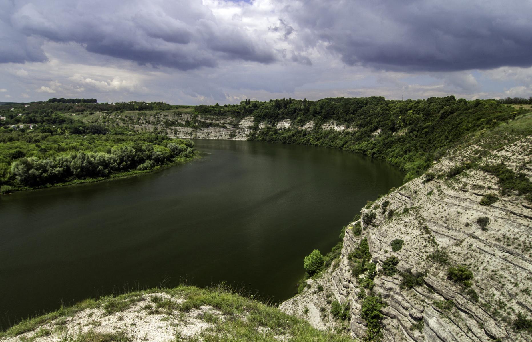
The topography of the Khmelnytsky region is diverse. Its development and structural features are determined by two main natural processes: the action of internal (endogenous) forces, i.e. those that are inside the Earth, and external (exogenous) forces that enter the Earth with sunlight and cause wind, rain, glaciers, etc. Human economic activity also joins the action of natural processes (cutting down and planting forests, building dams on rivers, reclamation channels and embankments, plowing steppes and meadows, etc.).
Among the relief forms that deserve attention, one should note orographic ledges. Such a ledge extends in the form of a continuation of the Kremenets, but less pronounced, denudation ledge from the villages of Kuniv–Pluzhne to the cities of Izyaslav–Shepetivka–Polonne. The height of the ledge is 20... 30 m. It is quite gentle, but it clearly separates the loess surface of the Biloghirsk Highlands from the sandy surface of the Shepetivsky Polissia. There is an assumption that this ledge is based on the ancient Andrushiv fault.
Geomorphological regions. Shepetivskoe forest. This district is based on the Shepetiv tectonic block, which occupies the northernmost part of the region and is characterized by the lowest absolute surface elevations (with the exception of the Dniester valley). Its average absolute heights range from 220 to 240 m.
The Shepetivskoe forest is bounded from the south by the Shepetivskoe escarpment, which stretches along the line of the villages of Kuniv–Pluzhne to the cities of Izyaslav–Shepetivka–Polonne, and separates the Podilskoe forest plateau with forest-steppe landscapes.
Skrypivsky district (geomorphological) is a hilly elevation with erosional beam dismemberment, located between Khomora and the Shepetivka–Polonne orographic escarpment. Unlike the Biloghir district, not only chalk deposits are absent here, but also Neogene deposits to a large extent. For the most part, Quaternary loess loams lie directly on Precambrian crystalline rocks. If the southern and northern boundaries of this area are distinct and clear (Homora in the south and the Polis plain in the north), the western one is quite arbitrary. It is carried out along the line of the villages of Klubivka–Shurovechki–Sakhnivka, which separates this district from the Polkvinska Plain. The eastern border runs along the border with the Zhytomyr region. The average maximum heights in this area (290... 300 m) gradually fall to the east, as a result of which the entire surface of the area is significantly leveled.


